
Camera imagery
ConnectedThe Teleport player supplies the crater view. The image timestamp and visibility determine which observations it can support.
Put the camera beside weather, vessel activity and reef observations. The useful questions begin where different kinds of evidence meet.
Open the live field station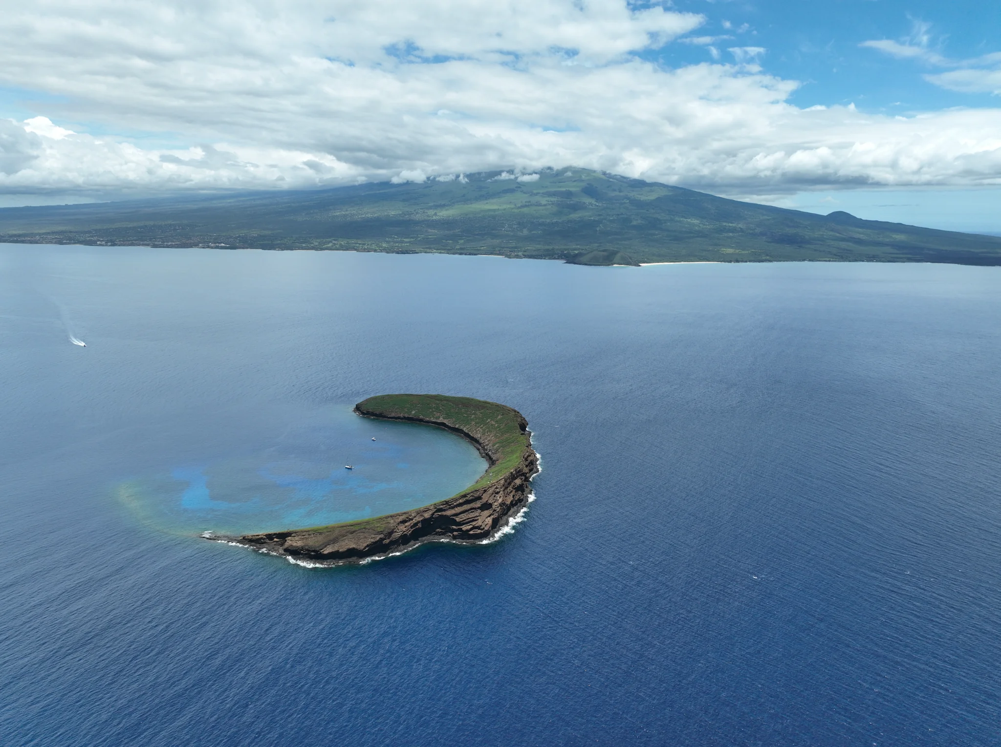 Friends of Molokini · Archive photograph
The Teleport player supplies the crater view. The image timestamp and visibility determine which observations it can support.
The field station reads the NWS marine grid for wind, waves, cloud cover, temperature and rain probability, with issue times and stale-data handling.
A current manual observation can be published with its time and coverage. An unavailable count is shown as unknown. Automated detection is not connected.
NOAA’s daily 5 km products provide regional heat context. A direct local time series needs a selected grid cell and an ingestion process before values appear here.
A calibrated hydrophone and a published analysis protocol could compare vessel activity with sound exposure while accounting for wind, waves and biological sound.
Repeated photographs and surveys could document coral condition, reef contact and debris. Each observation needs location, method, time and review.
Plot reviewed visible vessel counts against the matching wind, wave and cloud forecasts. Flag glare, darkness, rain and blocked views so poor visibility does not masquerade as fewer boats. Counts describe the camera’s coverage, not the whole district.
Once sound monitoring is established, align arrivals, departures and cumulative vessel-hours with calibrated acoustic measurements. Account for weather, sensor depth and distance. A correlation can identify a question for research; it cannot, by itself, assign an individual operator’s responsibility.
Compare regional thermal stress with standardized, dated reef photographs and surveys. Keep bleaching, mortality, physical breakage and recovery as separate observations. This makes long-term change interpretable without forcing every change into a single explanation.